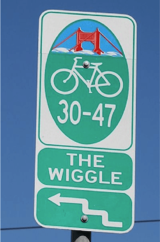
Wiggle
Wiggle around San Francisco's biggest hills

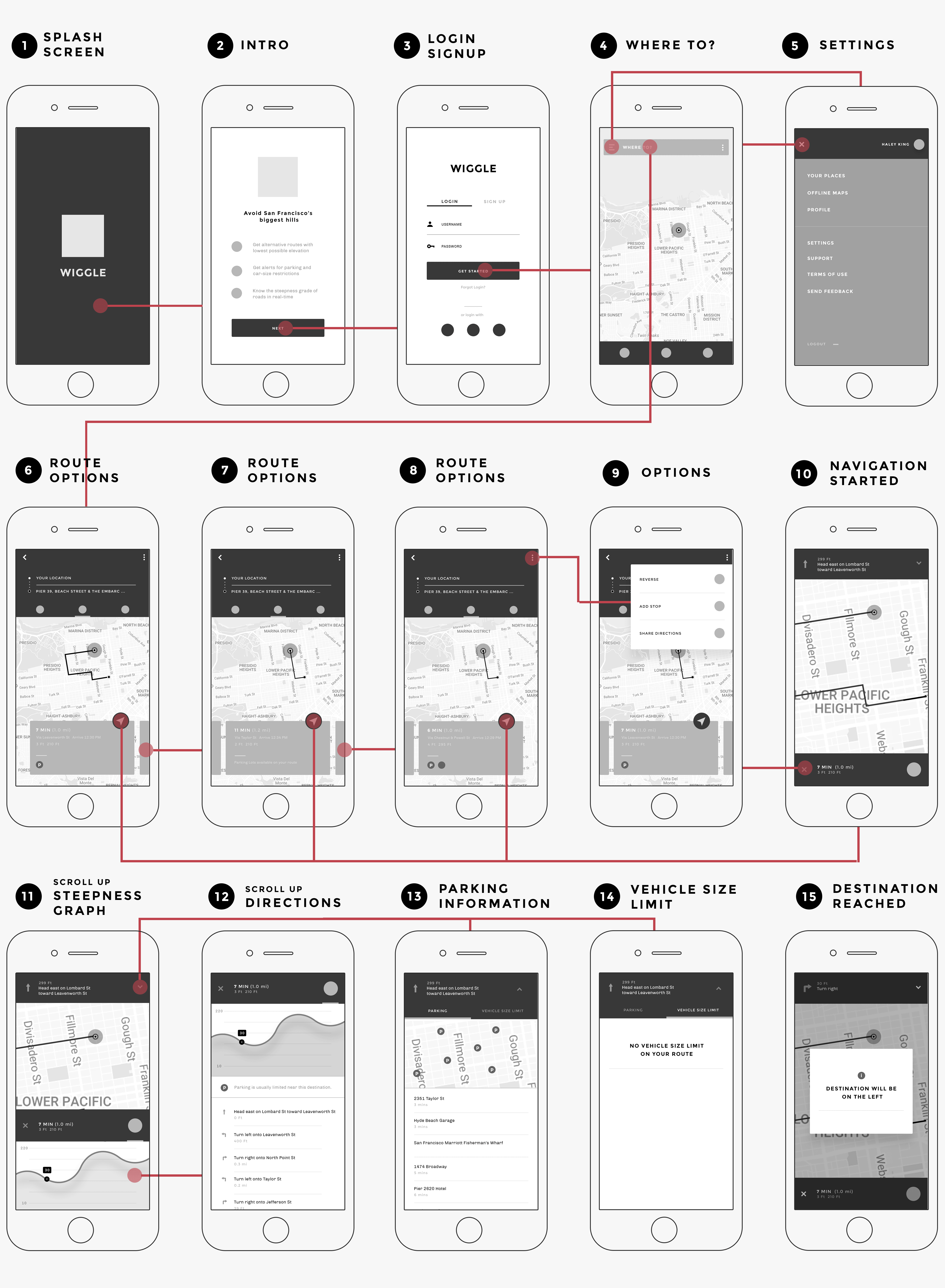
OVERVIEW
How do could I make navigating through the hills in San Francisco easier?
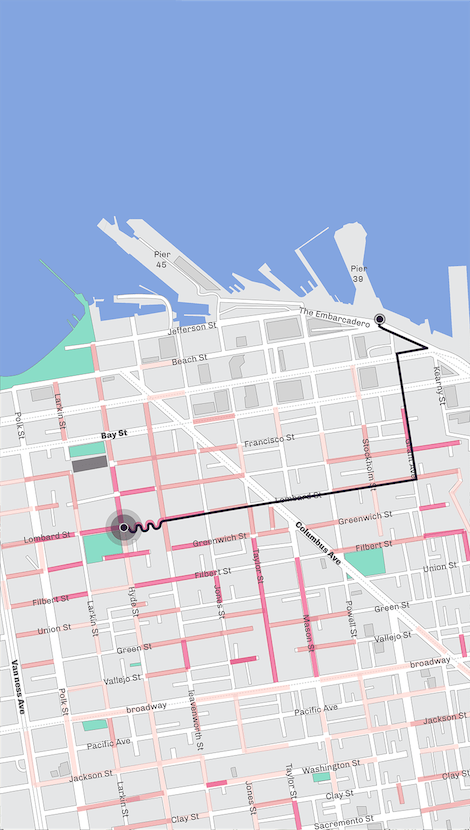
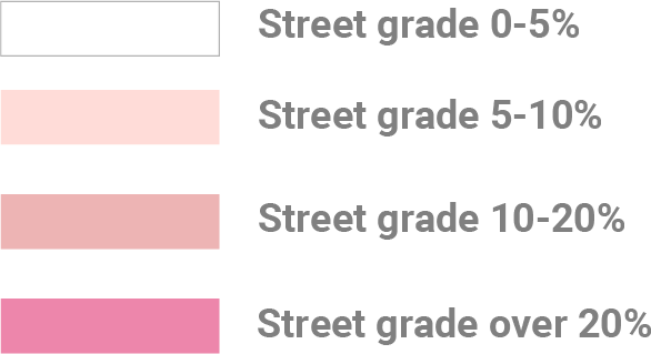
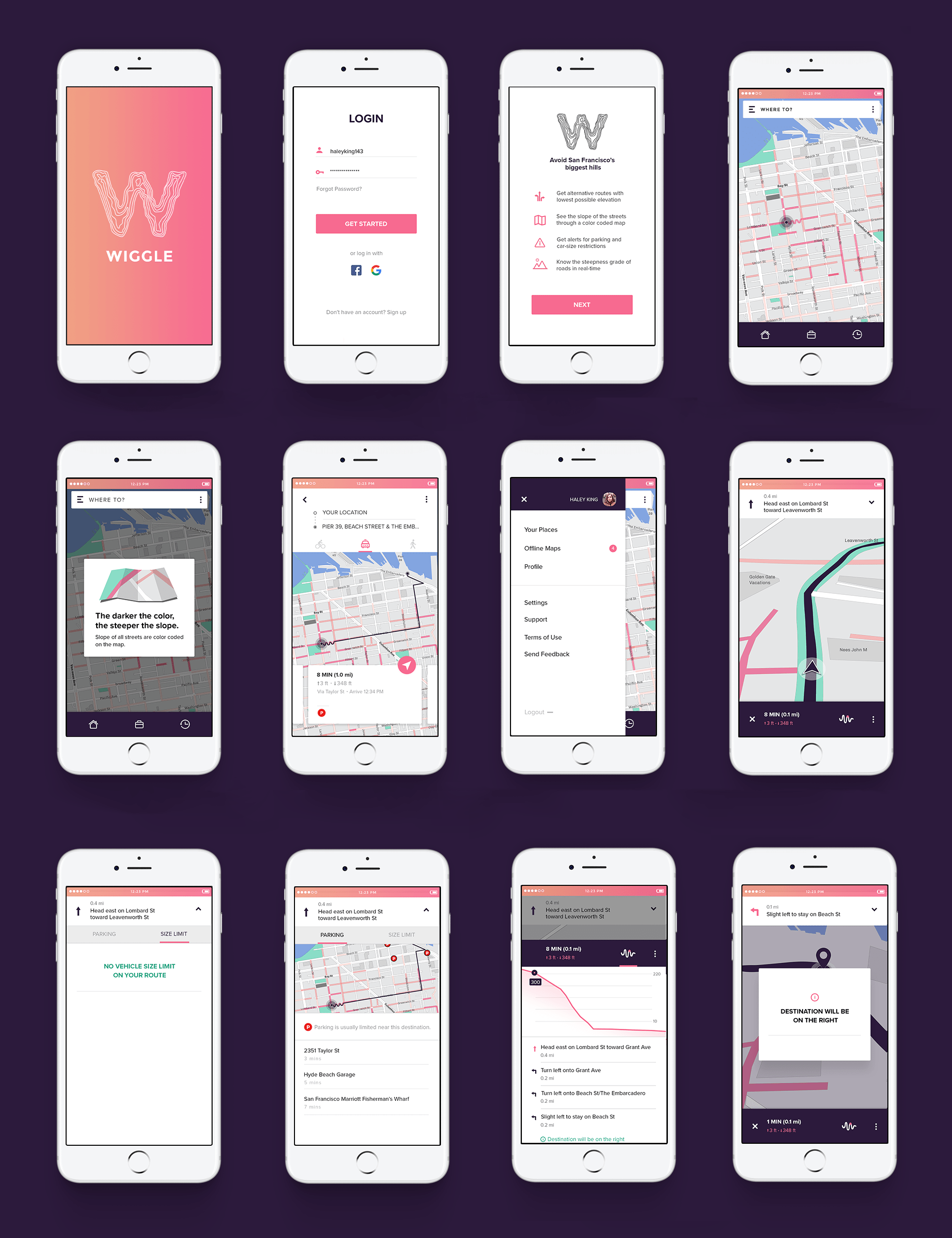
San Francisco is not an easy place to get around with hills ranging from 200 to 900 feet. Neither a physical map nor the current mapping applications provide an intuitive way to tackle the topography of the region.
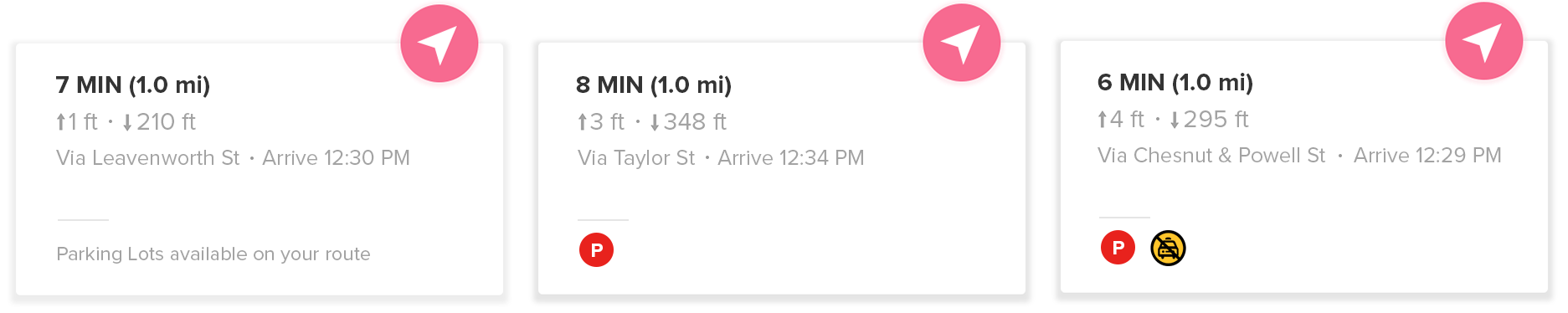
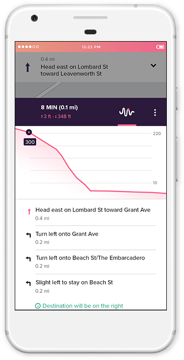
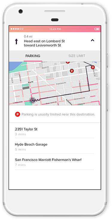
Wiggle provides a way to locate all the hills in San Francisco, to avoid them or enjoy them. It is a web mapping application with a focus on topography of the region.
view the process
ROLE
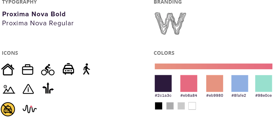
Concept, UI/UX & Visual Design
WHEN
Spring 2017
AWARDS
Adobe Design Achievement Award — Semi Finalist 2017